Objective
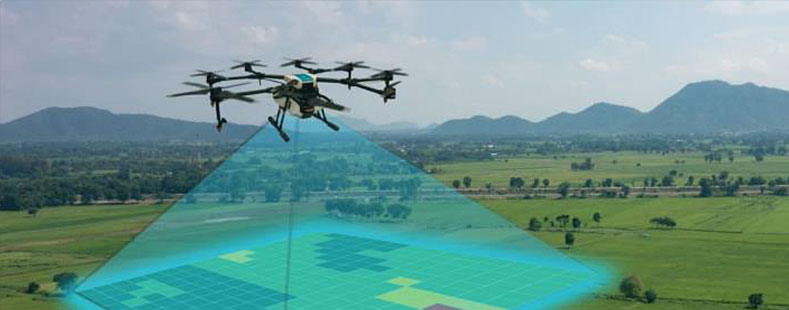
Train participants to effectively use LiDAR (Light Detection and Ranging) including sensors and radar for accurate mapping and mastering data processing.
Advantages
LiDAR provides precise mapping even in low-light conditions and through obstacles like vegetation and buildings.

Training Modules
- Introduction to LiDAR sensor technology
- Theory and concepts of LiDAR mapping
- Comparison between Photogrammetry and LiDAR
- Drone flight regulations in Indonesia
- Mission planning (flight path)
- Installation of LiDAR sensors on drones
- Installation of base stations and LiDAR data acquisition
- Pre-processing data (PPK Base and LiDAR)
- LiDAR data processing (Outputs: Point Cloud, Contours, Aerial Photos)
- Result analysis and evaluation
Instructors
Experienced practitioners and academics in photogrammetry and drones/UAVs, or members of the Indonesian Drone Pilot Association (APDI)