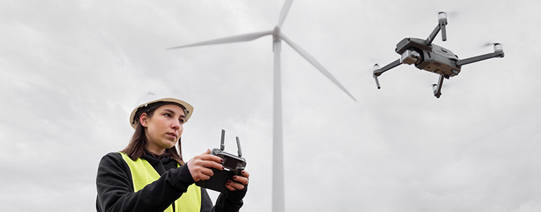
Objective
Drone/UAV Mapping Survey Training focuses on teaching the use of unmanned aerial vehicles (drones) for survey and mapping activities.
Training Content
- Technical, practical, and theoretical aspects of drone operation
- Drone technology and related software
- Remote sensing principles
- Practical data collection steps using drones
Instructors
Experienced practitioners and academics in photogrammetry and drones/UAVs, or members of the Indonesian Drone Pilot Association (APDI)

Training Modules
- Introduction to photogrammetry (aerial photography) concepts
- Regulations for drone use in Indonesia
- Practical training on automatic flight path planning
- Practical training on aerial mapping data acquisition
- Determination and measurement of Ground Control Points (GCPs)
- Processing of aerial photography data